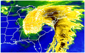
reach. Image taken March 13, 1993 by NOAA.
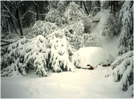
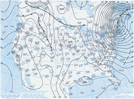
This powerful nor’easter known as the “Storm of the Century”, stretched from Canada to Central America at the height of the storm. The main impact, thought, was felt along the eastern seaboard of the U.S. The storm brought snow ranging from 4 to 12 inches as far south as Alabama, Georgia and Florida, and a blizzard conditions from the Carolinas northward. This system spawned numerous tornadoes, and caused high erosion rates along the coast due to the 9.2 meter height of the waves. This storm was responsible for 270 deaths, with over 48 of these deaths occurring out in the turbulent sea.

the Asheville, North Carolina area. Photo taken March 14, 1993 by NOAA. 
off the eastern seaboard. |
